Region | Upper West Region
Upper West Region
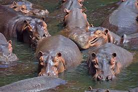
- Wechiau Hippo Sanctuary
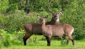
- Gbelle Game Reserve
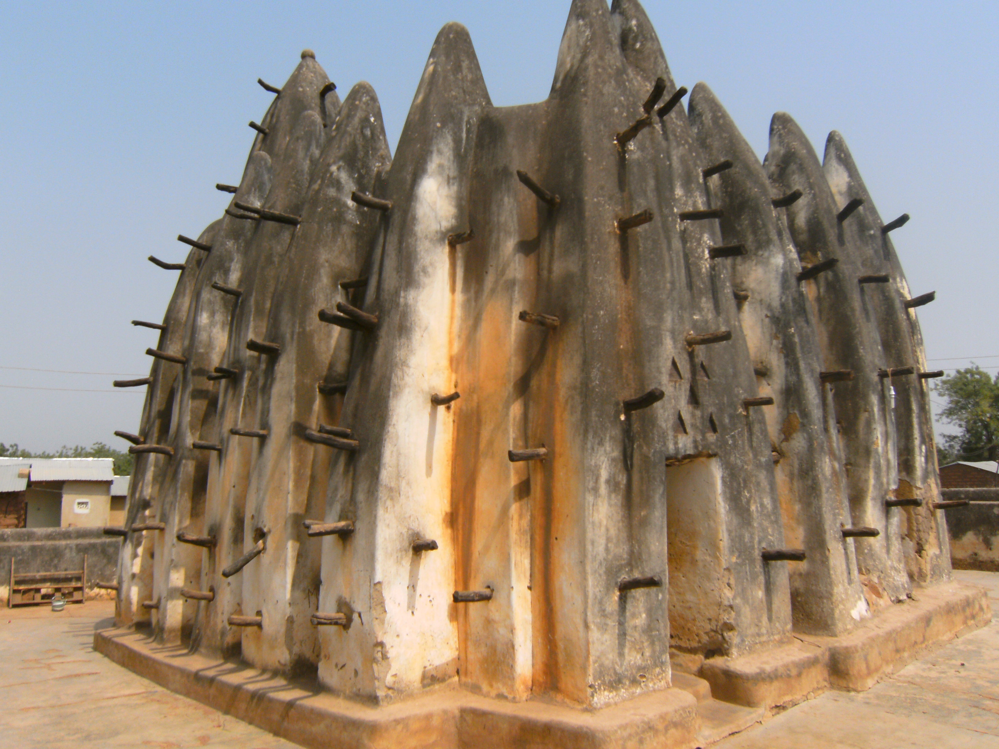
- Nakore Mosque
- Wa Naa’s Palace
Description
The Upper West Region of Ghana is located in the north-western corner of Ghana[6] and is bordered by Upper East region to the east, Northern region to the south, and Burkina Faso to the west and north. The Upper West regional capital and largest settlement is Wa. The Upper West was created by the then Head of State, Flight-Lieutenant Jerry Rawlings in 1983 under the Provisional National Defense Council (PNDC) military regime. The area was carved out of the former Upper Region, which is now the Upper East Region. For about thirty-five years, it remained the youngest region of Ghana until 2018 when six more regions were created by the Nana Addo Dankwa Akufo-Addo government; hence increasing the total number of administrative regions in the country to sixteen. The Upper West Region is one of the 16 regions of Ghana. It is located at the North Western corner of Ghana with latitude 9.8°- 11.O° North and longitude 1.6°- 3.0 West, bounded to Burkina Faso to the North. It covers a geographical area of 18,476 square kilometers, representing 12.7% of the total land area of Ghana. The northern Ghana-Burkina Faso is bordered on the east by the Upper East region and Northern regions, on the south by the Northern region, on the west by western Ghana-Burkina Faso, and the Upper West region on the north. It is the seventh largest region in Ghana in total area, and it is made up of 11 districts. By virtue of its location, the Upper West Region has the potential for international and inter-regional trade and other bi-lateral relations, but the overspill of criminal activities and disaster, such as bush fires, diseases and pestilence, armed robbery etc., from the region's neighbors also pose a threat. Tourism The Wechiau Hippopotamus Sanctuary is located southwest of Wa, along the Black Volta River in the Wa West District. The Gwollu Wall in the Sissala District serves as the hometown of one of Ghana's past presidents - Dr. Hilla Limann
Destinations
What Say Our Client


