What Say Our Client
Destination | Gambaga Escarpment
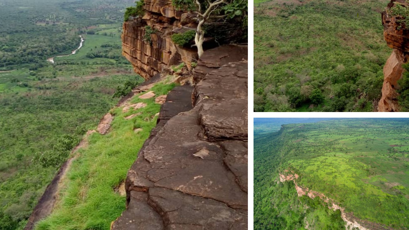
Gambaga Escarpment in North-East Region
Description
Gambaga Escarpment forms the elevated northern boundary of the Volta River basin and the eastern section of the granite plateaus of Wa and Mamprusi. To the south is another narrow plateau, followed by a gradual descent to the surrounding land. These cliffs run nearly 100km from Walewale to the Ghana-Togo border at Tusugu. They are composed of horizontal layers of sandstone and rising over 300 meters high in some places. At Gingana Mountain, the plateau causes the southbound White Volta River to turn west and follow the western half of the scarp until it finally turns south again at Kpasinkpe.